
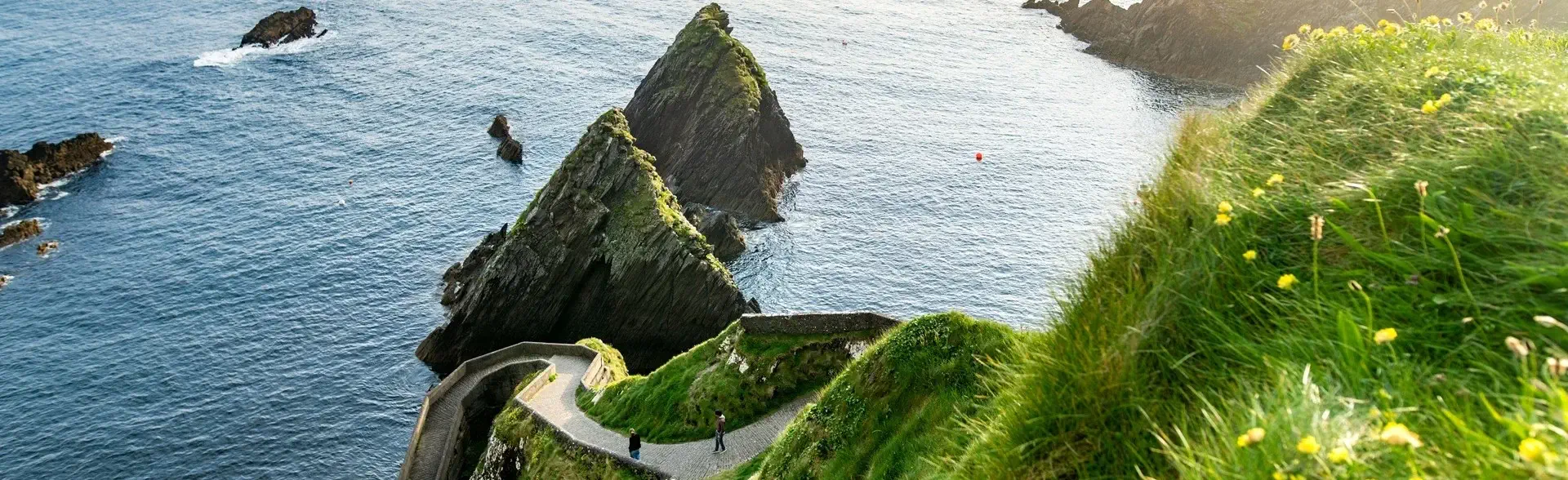
Dingle Way Full
8 stages along the ◆Dingle Way◆ in Ireland, circling the peninsula. Includes lodging and luggage transfers | Difficulty: ▲▲▲△△
Dingle Way Full
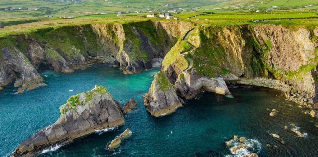
8 stages | 10 days
Dingle Way Full
▸ Includes 9 nights in hotels, lodges and guesthouses on a bed & breakfast basis.
▸ 8 stages from Tralee back to Tralee, circling the peninsula from point to point.
breakfast included
luggage transfers included
stages of 17~29 km per day
from 1 May to 30 September

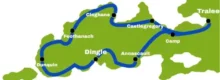
full route: 187.7 km
total ascent: 2714 m
total descent: 2679 m
Personalised app 
Offline GPS navigation
Key information
STAGES | ACCOMMODATION:
arrival in County Kerry (Kerry Airport)
Tralee ▸ Camp
Camp ▸ Annascaul
Annascaul ▸ Dingle
Dingle ▸ Dunquin
Dunquin ▸ Feothanach
Feothanach ▸ Cloghane
Cloghane ▸ Castlegregory
Castlegregory ▸ Tralee
departure
DIFFICULTY LEVEL
This programme is right for you if you are in good physical shape and have no health problems, if you love nature, respect the environment and hike regularly.
See more details in:
FREQUENTLY ASKED QUESTIONS
ITINERARY
DAY 1
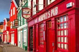 Arrival in County Kerry
After flying into Dublin, Ryanair connects you twice a day with Kerry Airport (a half-hour flight)
Briefing call to explain all the details of each stage.
+ Hotel Tralee Townhouse B&B (…or similar – Tralee)
DAY 2
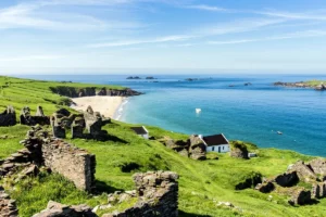 Stage 1: Tralee ▸ Camp
You leave Tralee, the lively capital of County Kerry, along the path beside the canal. After a gentle start, you cross the River Lee and pass the historic Blennerville Windmill, whose white silhouette rises above the landscape.
Little by little, the route turns onto bog paths that climb gently through heather and wetland. In the rain the ground can become slippery, but large stones placed along the way make the going easier.
The effort is worth it: at the top, a stunning view opens up before you, taking in Tralee and stretching all the way to majestic Mount Brandon. Camp is a small village with few but welcoming places to stay, ideal for a well-earned rest or a walk on the beach at sunset.
 19.2 km ↗ 227 m ↘ 152 m
+ Coach Field Camp (or similar – Camp)
DAY 3
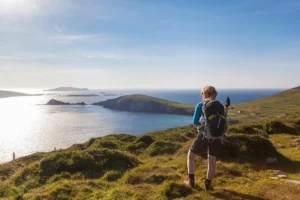 Stage 2: Camp ▸ Annascaul
The second stage of the Dingle Way takes you from Camp to the southern side of the peninsula, over a small mountain pass. At first, the path climbs along an old disused road that winds between peat bogs and small conifer woods, wrapped in the calm of the Irish countryside.
Behind you lies Tralee Bay, while ahead you soon begin to glimpse the waters of Dingle Bay. As you approach the coast, the views become more and more spectacular: the long golden strip of Inch Strand, Castlemaine Harbour and, in the distance, the mountains of the Iveragh Peninsula.
At the end of the stage, the trail descends to Annascaul, a welcoming village where you will find several places to stay, a charming pub to recharge and a supermarket to stock up on supplies for the next day.
17.7 km ↗ 345 m ↘ 419 m
+ Inspiration Lodge (or similar – Annascaul)
DAY 4
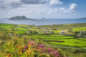 Stage 3: Annascaul ▸ Dingle
The next stage runs along quiet roads, green meadows and country lanes dotted with old ruined stone cottages. The trail first leads you to the coast, where Minard Castle invites you to stop.
Although you cannot enter the ruin, it is well worth pausing to take in the magnificent sea views. Then a peaceful road takes you to Lispole, with the mountains you will soon be crossing outlined on the horizon.
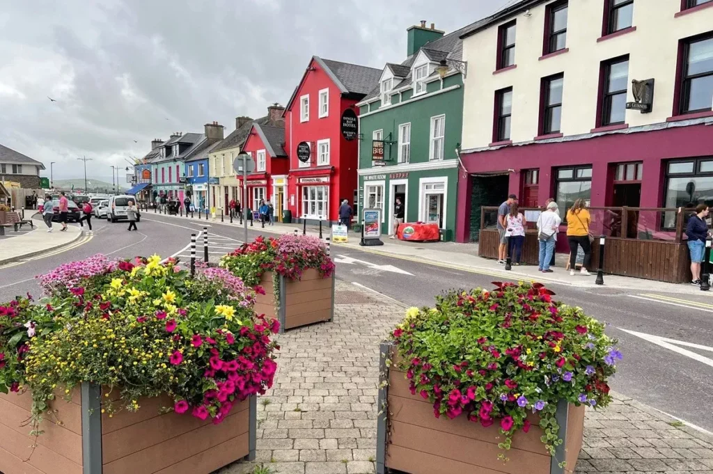
Finally you reach Dingle, the heart of the peninsula, a town full of charm, with traditional Irish music playing in its pubs and cosy B&Bs to rest in after the walk. Famous for Fungie, the dolphin who lived in the bay for 37 years, Dingle invites you to stroll through its colourful lanes and down to the harbour, where a statue pays tribute to the much-loved dolphin.
 21.6 km ↗ 383 m ↘ 397 m
+ Base Dingle Hotel (or similar – Dingle)
DAY 5
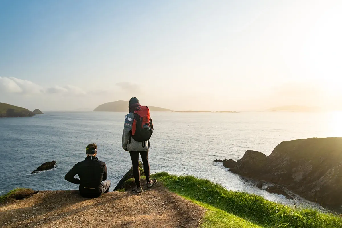 Stage 4: Dingle▸ Dunquin
Heading west, the Dingle Way crosses the Milltown River next to the Dingle Distillery, the first purpose-built distillery in Ireland in more than a century. Opposite you can see Esk Hill, with its 1847 tower, and Burnham House, once the residence of Lord Ventry and now a boarding school, where ogham stones are on display.
The trail turns towards Ventry, crosses the boggy saddle of Mám an Óraigh and reaches Ceann Trá, the last place to stock up before Dún Chaoin. It then crosses Ventry Beach, the legendary setting of a battle that lasted a year and a day.
On the Slea Head road you need to take great care because of traffic. For 7 km, the route skirts Mount Eagle and passes Dún Beag fort and the Fahan archaeological site, with views of the Blasket Islands. In Dún Chaoin it passes the grave of Peig Sayers, a pier with boats to the Blaskets and a plaque recalling the wreck of a Spanish Armada ship in 1588. The stage ends at the Ionad an Blascaoid visitor centre.
23.4 km ↗ 438 m ↘ 387 m
+ Garveys Farmhouse (or similar – Dunquin)
DAY 6
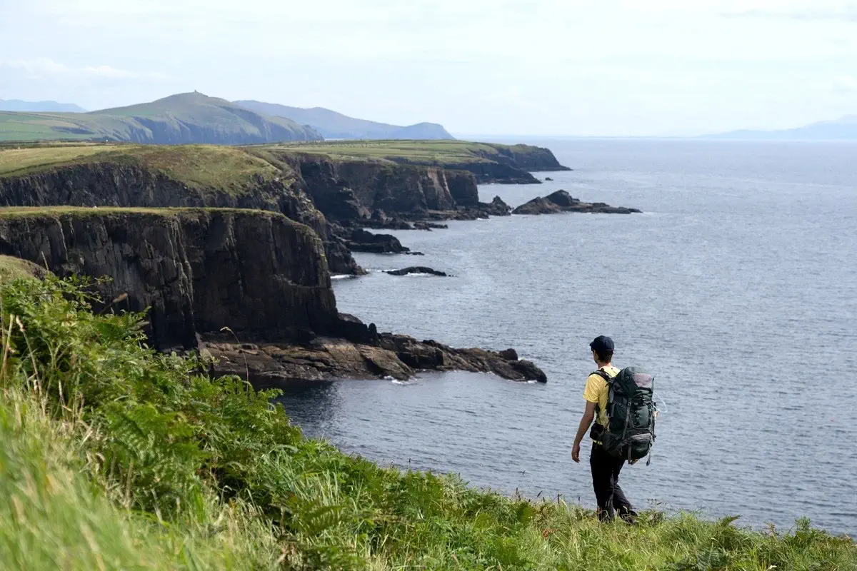 Stage 5: Dunquin ▸ Feothanach
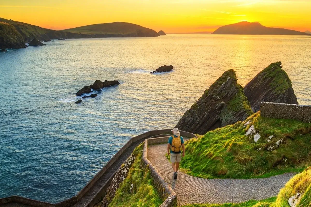
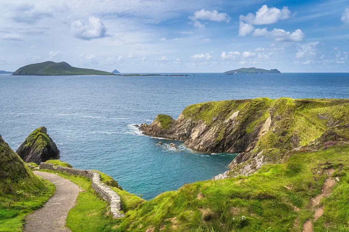
From the An Óige hostel in Dún Chaoin, the trail heads north along a gravel track beside volcanic Mionnán Mór, with views of Mount Brandon, the Three Sisters, Smerwick Harbour and Sybil Point. The ground can be wet. After passing Louis Mulcahy’s pottery, it descends to secluded Clogher Beach, facing Inis Tuaisceart (“The Dead Man”).
It then skirts the Ceann Sibéal golf course to Béal Bán beach, near Dún an Óir, where in 1580 Elizabethan troops massacred 600 men during the Desmond Rebellion. For 6 km it follows Smerwick Harbour (“butter harbour”, a name of Norse origin), goes around Baile an Fheirtéaraigh and passes close to Gallarus Oratory and its Norman castle.
After Baile na nGall, a clifftop section, boggy in places, leads to An Cúinne pub in Feothanach, beneath Mount Brandon.
23.9 km ↗ 214 m ↘ 234 m
+ The Old Pier (or similar – Feothanach)
DAY 7
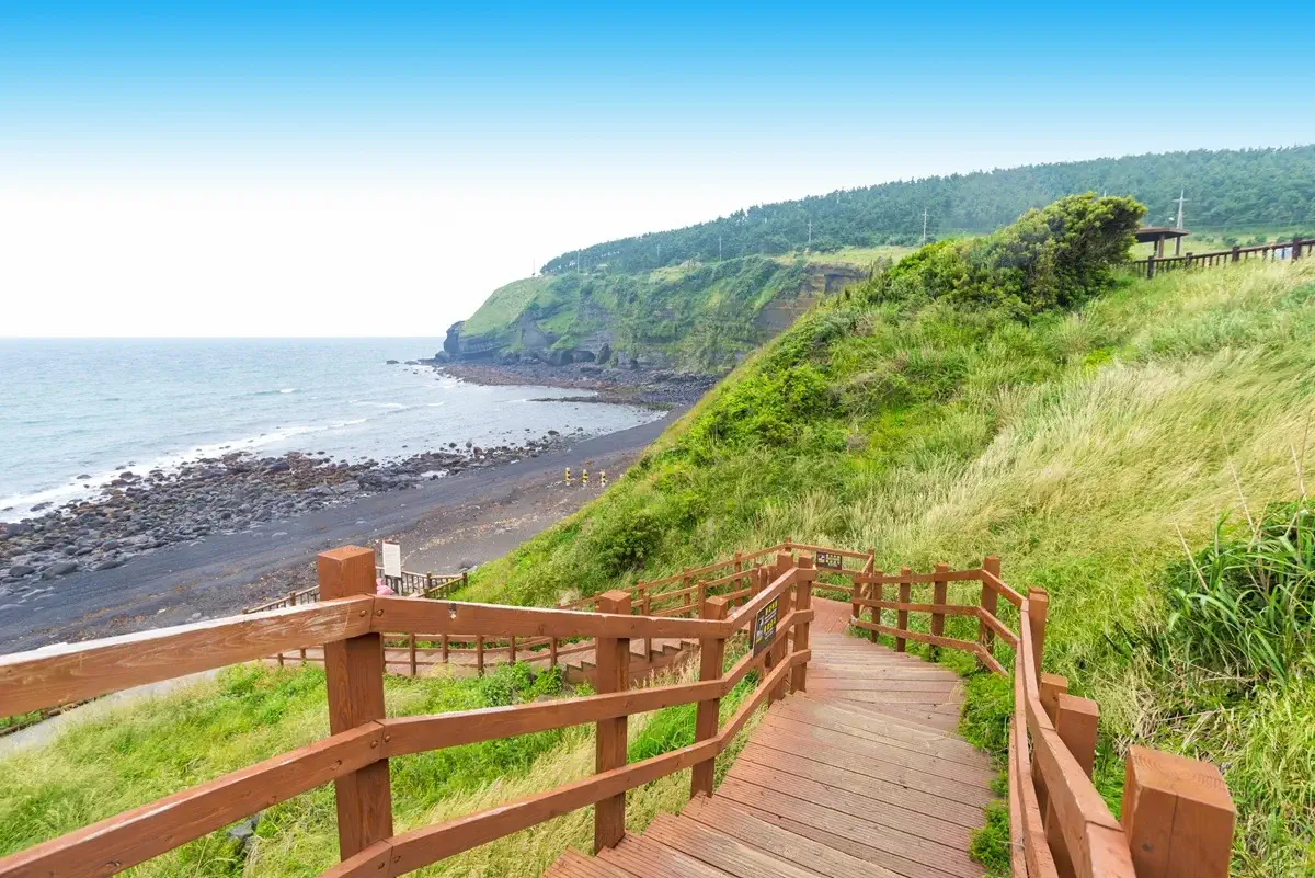 Stage 6: Feothanach▸ Cloghane
This is the most demanding section of the Dingle Way and reaches its highest point. In bad weather or poor visibility, it is best to find another way to get to Cloghane.
From Feothanach, the trail heads northeast and passes close to Cathair na bhFionnúrach, a medieval fortification open to the public. Below lies Brandon Creek, from where, according to tradition, Saint Brendan set sail in the year 535 with 14 monks, perhaps bound for North America.
Then begins the tough climb up sacred Mount Brandon, with views of Fothar na Manach, ancient hermits’ fields. On the saddle between Más an Tiompáin and Piaras Mór there is an ogham stone and a spectacular panorama. The descent is steep: hiking poles are recommended and you should check the weather, as it is easy to get lost and there is a 450-metre drop. After seeing the remains of glacial valleys, the path passes Brandon Pier and reaches the welcoming village of Cloghane.
25.3 km ↗ 769 m ↘757 m
+ O’Connors Guesthouse (or similar – Cloghane)
DAY 8
 Stage 7: Cloghane ▸ Castlegregory
From Cloghane, the Dingle Way crosses the Owenmore River and follows a quiet 3.5 km road around Drom Hill, with views of glacial valleys, to Fermoyle. Here you will notice Fermoyle House, built by the Hickson brothers, former landlords.
Next comes Fermoyle Beach, 11 km long and one of the finest in the northern hemisphere. At spring tides you may need to climb up into the dunes. The trail continues via Fahamore and Scraggane Bay, facing the Seven Hogs islands, among them Oileán tSeanaigh, known for its monastic site.
At low tide, the remains of the Port Yarrock, wrecked in 1894, can be seen on Kilcummin Beach. The Maharees peninsula is home to the rare natterjack toad, with a yellow stripe down its back. At Kilshannig there is an ancient cross bearing the Chi-Rho symbol. After another 2.5 km of beach, the path reaches Castlegregory, with accommodation, restaurants and pubs.
26.7 km ↗ 64 m ↘ 62 m
+ Fitzgeralds Hostel B&B (or similar – Castlegregory)
DAY 9
 Stage 8: Castlegregory ▸ Tralee
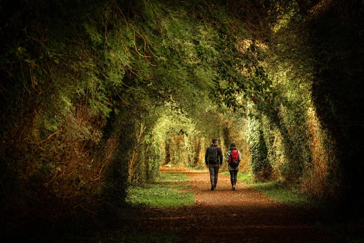
From Castlegregory, the Dingle Way heads southwest along tarmac and gravel tracks to Aughacasla, where it crosses the R560 road and goes down to the beach. At high tide, a ramp lets you get around the rocks. The trail follows field edges and the coast to Carrigagharoe Point.
After Kilgobbin church, it crosses the R560 at Lower Camp and follows the signs towards Tralee. It crosses the River Finglas on stepping stones and continues along rural paths with stiles, streams and boggy stretches, with good views over Derrymore.
The descent crosses the Derrymore and Derryquay rivers and passes a standing stone. Once in the Curraheen valley, Blennerville Windmill comes into view. The final section follows back roads and a canal-side path to the Ash Memorial Hall in Tralee, where your Dingle Way journey began days earlier.
29.9 km ↗ 274 m ↘ 271 m
+ Tralee Townhouse B&B (or similar – Tralee)
DAY 10
 Departure or extension
Make your own way to Kerry Airport to depart for Dublin and continue your journey, or extend your stay and take time to discover the hidden corners of Tralee and enjoy its unique atmosphere.
FLEXIBLE PROGRAMME: you can rearrange the stages to fit in rest days between them. We adapt to your wishes.
PLEASE NOTE: This multi-stage route around the Dingle Peninsula in Ireland requires a good level of fitness.
Waymarked trails + GPX directions and App
luggage transfers from hotel to hotel
point-to-point routes

luggage transfers
we move your suitcases from one accommodation to the next so you can walk with a light load

accommodation
charming hotels and lodges strategically located for each stage, with breakfast included
stages
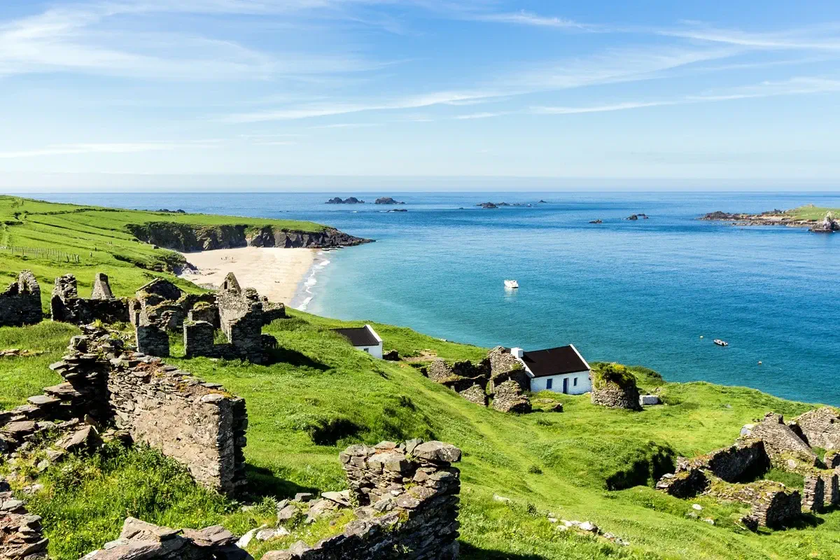
8 stages of between 17 and 29 km each, to circle Ireland's Dingle Peninsula completely
DINGLE WAY IRELAND
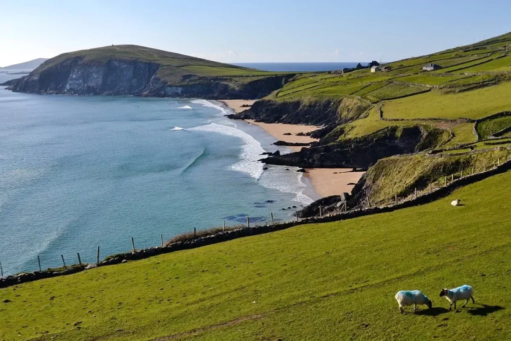
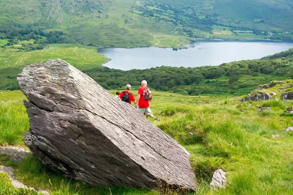
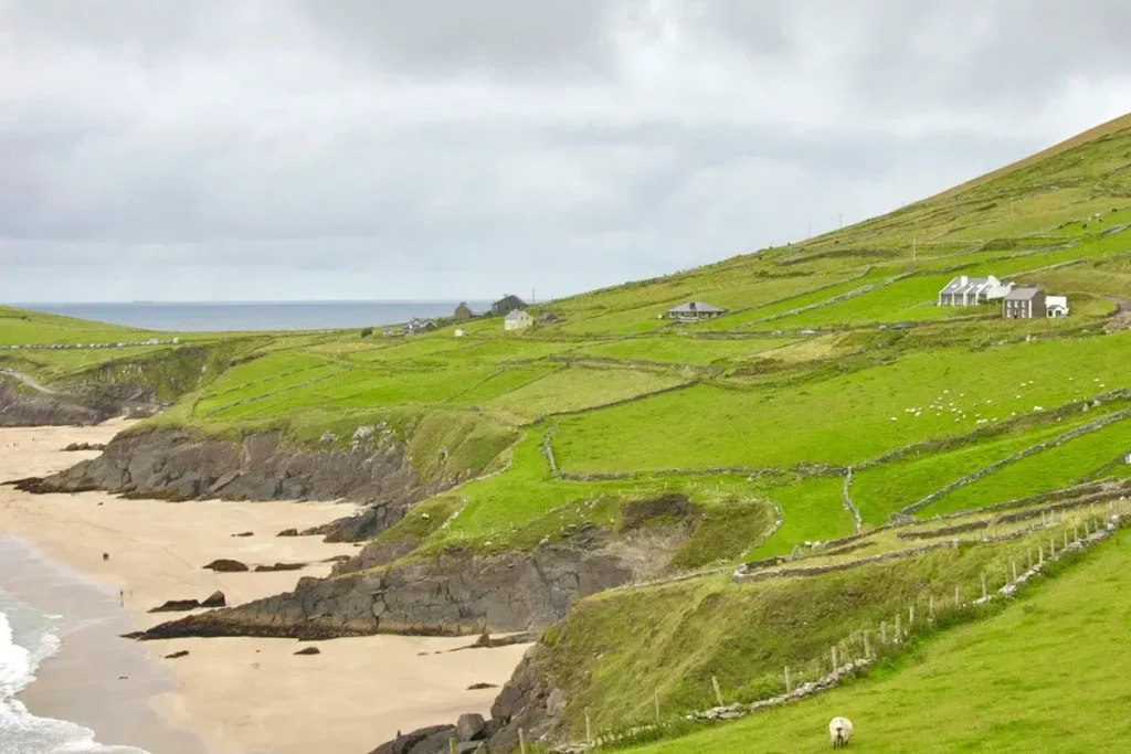
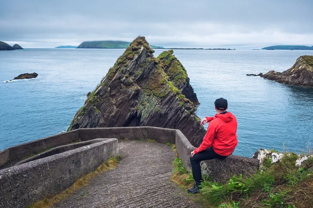
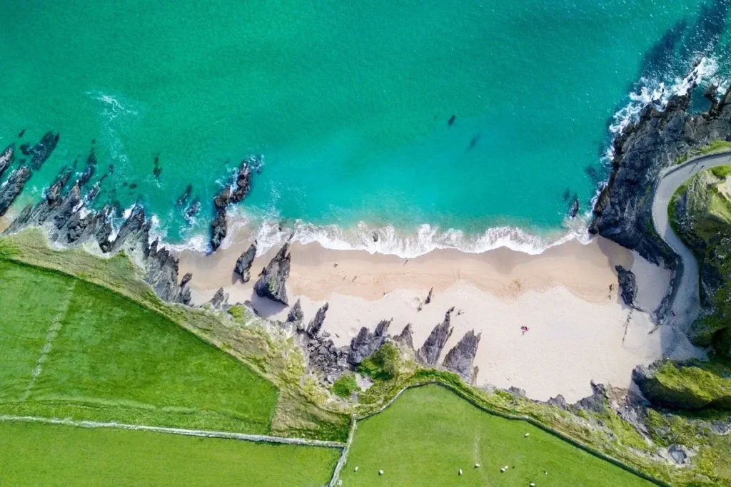
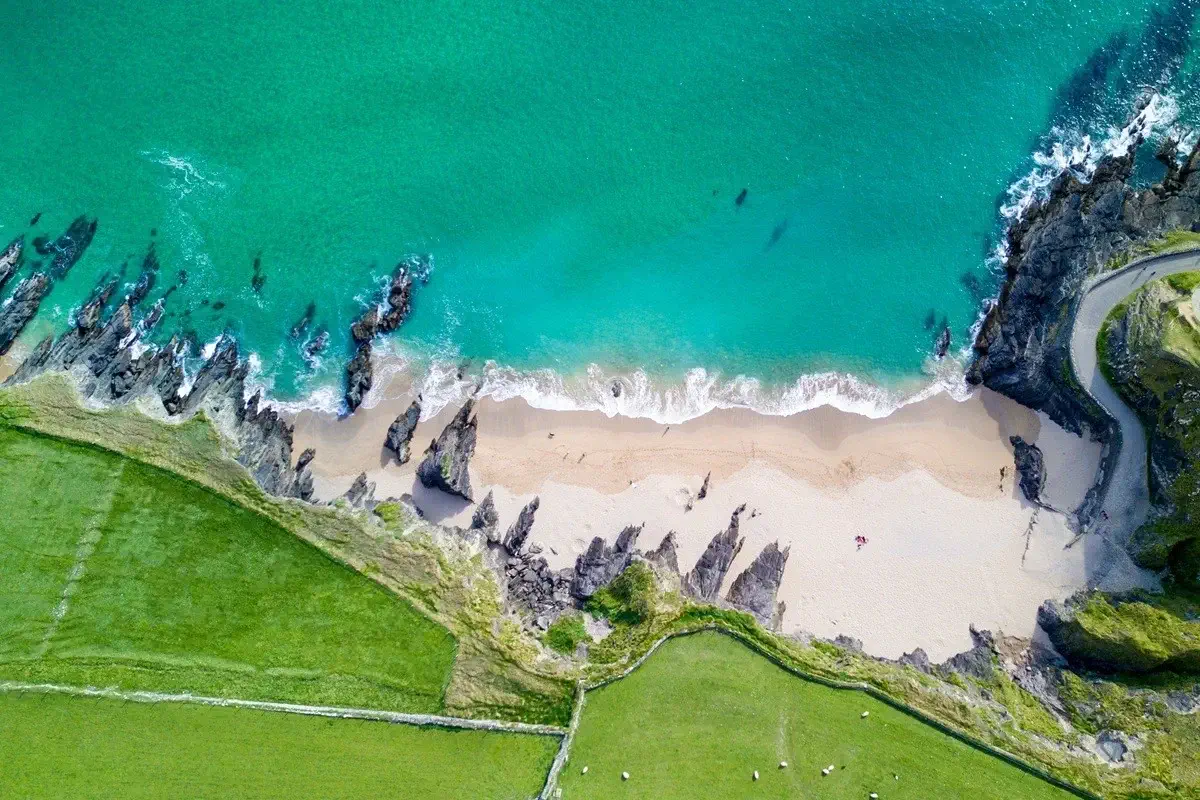
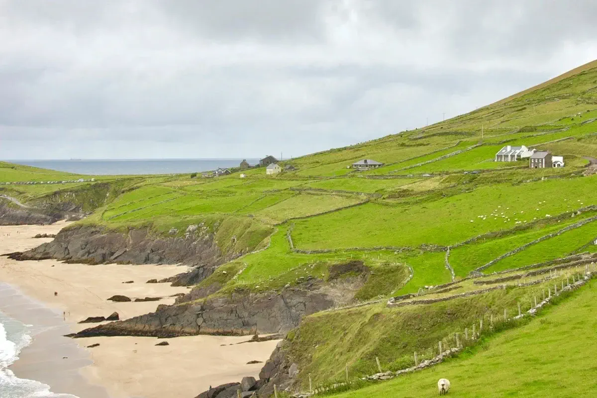
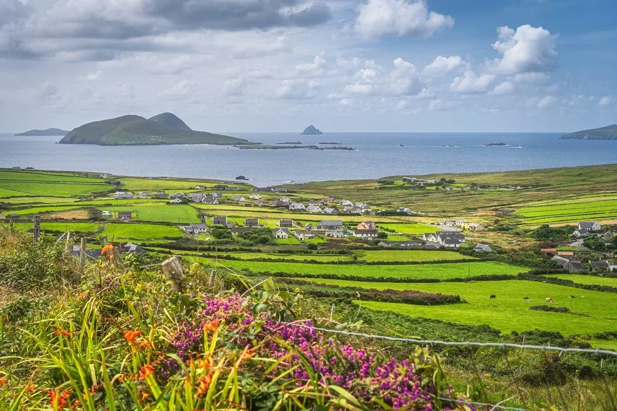
The Dingle Peninsula offers one of the most spectacular walks in Ireland. Far from the main tourist routes, here you will discover the most authentic nature, with rugged Atlantic coastlines, golden sandy beaches, intensely green meadows and heather in bloom.
A route as genuine as a pint of Guinness
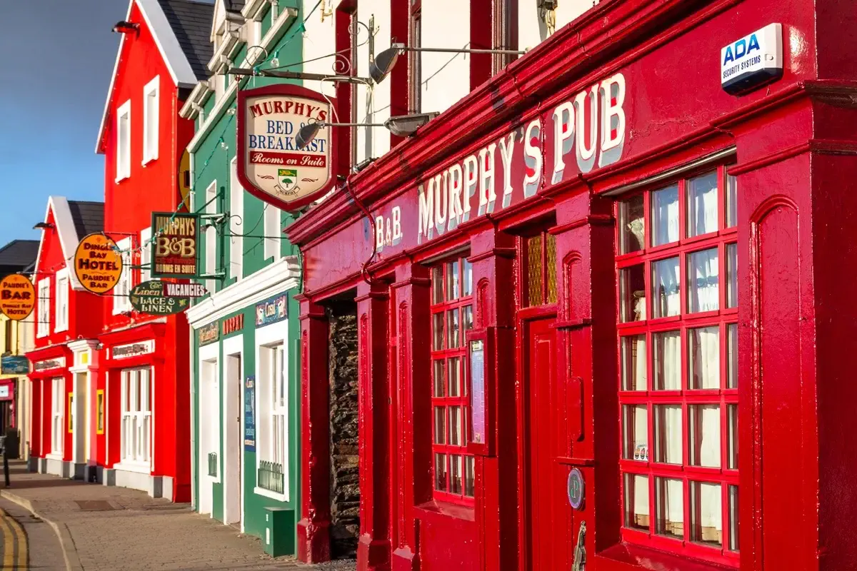
As you head west from Tralee, you will settle into the relaxed pace of its small villages and enjoy the famous Irish hospitality. As evening falls, the traditional pubs are the perfect place to round off the day with a hearty meal, a freshly pulled Guinness and live music that gets everyone going.
Trip highlights:
Dingle Way: from Tralee to Tralee, circling the peninsula
A multi-stage, point-to-point trail
Golden sandy beaches | Rugged Atlantic coastlines | Ancient early Christian monasteries
Dingle Way: the perfect trail along the quietest stretch of the Atlantic coast.
On the Dingle Way, the perfect blend of adventure, relaxation and Irish spirit awaits you: an unforgettable hiking experience in one of the most beautiful corners of Ireland.
Considered one of the most beautiful long-distance trails in the country, the Dingle Way captivates with its unique mix of wild nature, fascinating history and heartfelt hospitality. Along its 187 kilometres you will walk through picture-postcard landscapes: green meadows, heather in bloom and steep cliffs, with your gaze drifting again and again to the deep blue of the Atlantic.
One of the most impressive sections crosses the golden dunes of Inch Beach, one of the longest sandy beaches in Ireland. Besides its natural beauty, the trail is dotted with traces of the past: prehistoric stone circles, enigmatic ogham-inscribed stones and ruins from the earliest days of Christianity.
In the picturesque villages of the peninsula you will immerse yourself in vibrant Gaelic culture, savour an ice-cold Guinness and feel the energy of live folk music in the traditional pubs. A highlight of the route is the Conor Pass, the highest mountain pass in Ireland, offering an unrivalled panorama of the whole peninsula. In short, the Dingle Way is an adventure full of nature, history and genuine Irish warmth.
Similar trips in other destinations
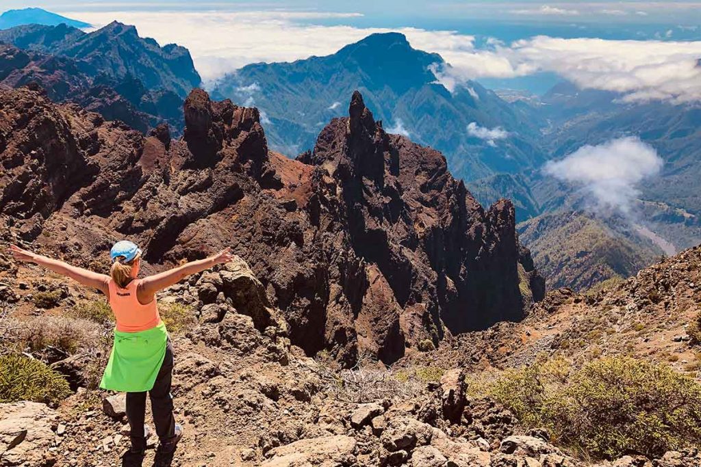


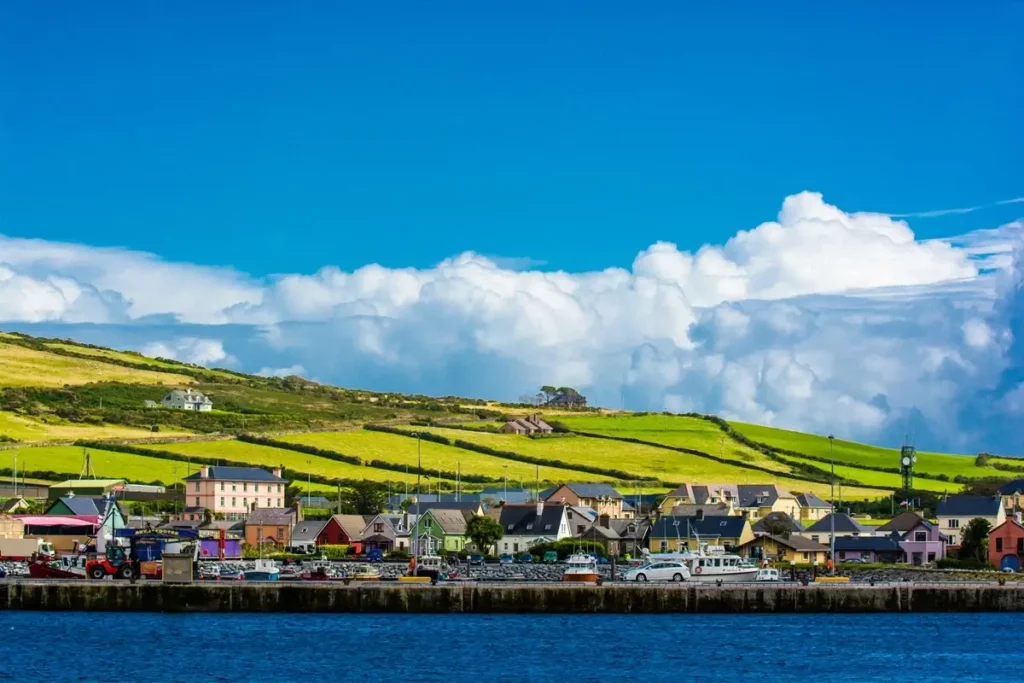
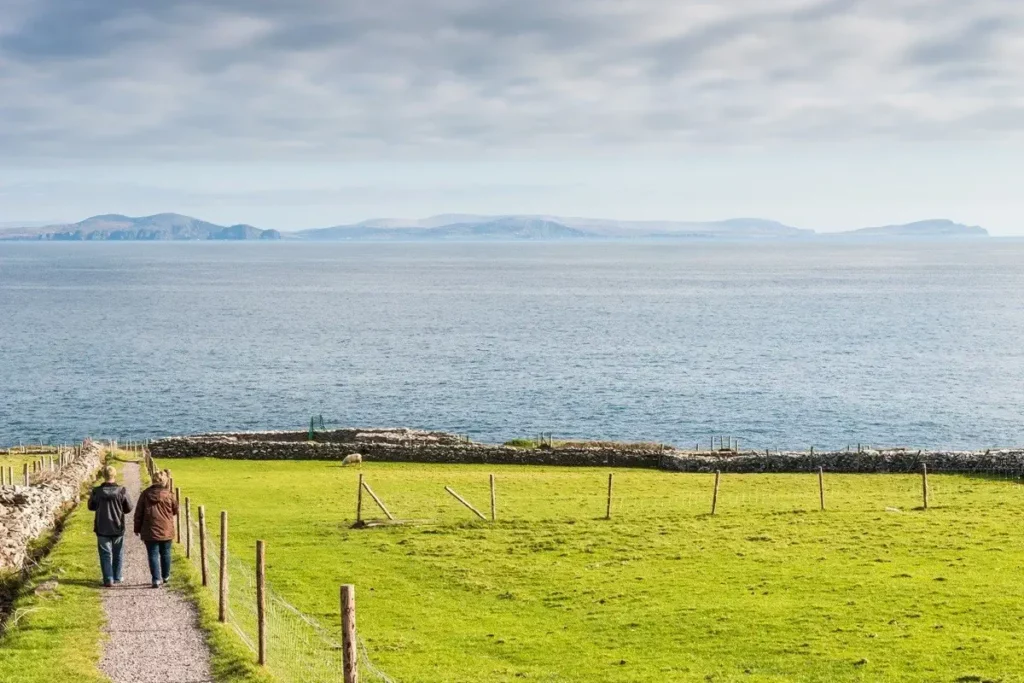
The Dingle Peninsula and its historic trail
Although the Dingle Way is relatively young as a waymarked trail, the paths it follows hold thousands of years of history. The route was opened in the mid-1980s as part of Ireland’s network of National Waymarked Trails, with the aim of showcasing one of the country’s most distinctive regions on foot. Its circular course, about 187 kilometres long and starting and finishing in Tralee, makes use of old tracks, shepherds’ paths, disused country roads and even stretches of abandoned railway line, so walking it is, in a way, following in the footsteps of those who lived on the peninsula for centuries.
A trail steeped in history
Human presence on Dingle dates back to prehistory. The first settlers left behind stone circles, standing stones and megalithic tombs that still rise among the fields today. From the Iron Age come fortifications such as Dún Beag, a promontory fort perched above the cliffs, and the mysterious ogham stones, carved with Ireland’s oldest alphabet, which usually marked graves or property boundaries. The peninsula has one of the largest concentrations of these inscriptions in the whole country.
Irish Christianity
With the arrival of Christianity, Dingle became a land of monks and pilgrims. In the Fahan area there are numerous clocháns, beehive-shaped stone huts built without mortar, and near Ballydavid stands Gallarus Oratory, a small stone church shaped like an upturned boat that has withstood centuries of Atlantic winds. Not far away, the Romanesque church of Kilmalkedar is a reminder of the region’s religious importance in the Middle Ages. Many pilgrims headed for Mount Brandon, dedicated to Saint Brendan the Navigator, along the ancient Cosán na Naomh, the Saints’ Road.
Dark times
More turbulent history also left its mark. Minard Castle, built in the 16th century by the Knights of Kerry, was damaged by Cromwell’s troops in the mid-17th century. In 1580, at Dún an Óir on Smerwick Harbour, a force of Spanish and Italian soldiers sent to support an Irish rebellion was massacred by the English army after surrendering, an episode still remembered in the area.
The 19th and 20th centuries brought profound change. The Great Famine hit the peninsula hard and triggered large-scale emigration. In 1891 the narrow-gauge railway between Tralee and Dingle opened; its viaducts can still be seen from the trail, and it ran until the middle of the last century. In 1953 the Blasket Islands were evacuated, their inhabitants leaving behind an extraordinary literary legacy in the Irish language. Annascaul, for its part, is proud to be the birthplace of Antarctic explorer Tom Crean.
More than a trail
Today, much of the peninsula lies within the Gaeltacht, where Irish is still spoken in daily life. Walking the Dingle Way therefore means crossing an open-air museum where landscape, faith, language and memory are intertwined at every step.
Request a quote
Not quite what you’re looking for?
We adapt to your wishes Tell us how you’d like it and we’ll put together a tailor-made plan for you.

We’ll get back to you as soon as possible.

Frequently asked questions about the Dingle Way
¿En qué consiste el programa Dingle Way Full?
Es el recorrido completo del Dingle Way en 8 etapas de punto a punto. La ruta es circular: sale de Tralee, rodea toda la península y vuelve a Tralee. El viaje dura 10 días y 9 noches, y cada noche duermes en un pueblo distinto. Puedes empezar cualquier día entre el 1 de mayo y el 30 de septiembre.
¿En qué se diferencia del programa Dingle Highlights?
Dingle Highlights dura 8 días y tiene 5 o 6 rutas de 17 a 21 km. Usa pocos alojamientos base, incluye traslados en taxi a los puntos de inicio y tiene opción de E-bike. Dingle Way Full completa el sendero entero caminando de un pueblo al siguiente. Las etapas son más largas, cambias de alojamiento cada día y la dificultad es mayor.
¿Cuántos kilómetros se caminan cada día?
Las etapas miden entre 17,7 y 29,9 km, unos 188 km en total con 2.714 m de desnivel positivo acumulado. Las tres últimas etapas son las más largas: Feothanach – Cloghane (25,3 km), Cloghane – Castlegregory (26,7 km) y Castlegregory – Tralee (29,9 km).
¿Qué nivel de forma física necesito?
La dificultad es de nivel 3 sobre 5. La agencia indica que hace falta una excelente condición física, porque se encadenan ocho días seguidos de caminata, algunos cerca de los 30 km. También hay tramos de turbera embarrados, playas y pasos de ríos. Se recomienda mucho llevar bastones.
¿Cuál es la etapa más difícil?
La sexta, de Feothanach a Cloghane, cruza el Monte Brandon y es el punto más alto del sendero, con unos 770 m de subida. El descenso es brusco y pasa junto a un precipicio de 450 m. Si hace mal tiempo o hay poca visibilidad, se recomienda llegar a Cloghane por otro medio. Hay otros dos tramos que piden atención: la carretera de Slea Head (etapa 4), por el tráfico, y la playa de Fermoyle (etapa 7), donde con mareas vivas puede ser necesario subir a las dunas.
¿Puedo añadir días de descanso?
Sí. El programa es flexible: puedes reordenar las etapas para intercalar días libres. También puedes reservar noches extra antes, durante o después del recorrido.
¿Dónde me alojaré?
Te alojarás en B&B, lodges y casas de huéspedes con desayuno incluido, en cada final de etapa, sujetos a disponibilidad o en otros similares:
- Tralee: Tralee Townhouse B&B, la primera y la última noche.
- Camp: Coach Field Camp.
- Annascaul: Inspiration Lodge.
- Dingle: Dingle Harbour Lodge o Base Dingle.
- Dunquin: Garveys Farmhouse.
- Feothanach: The Old Pier.
- Cloghane: O'Connors Guesthouse.
- Castlegregory: Fitzgeralds Hostel B&B.
Tu maleta viaja de un alojamiento al siguiente, así que solo caminas con una mochila de día. Se recomienda una maleta por persona de máximo 20 kg.
¿Cómo llego y cómo vuelvo?
Lo más práctico es volar a Dublín y enlazar con el aeropuerto de Kerry. Ryanair tiene dos vuelos diarios de unos 30 minutos, y Aer Lingus también opera la ruta. El trayecto del aeropuerto a Tralee corre por tu cuenta, igual que el regreso al aeropuerto el último día. Como la ruta empieza y termina en Tralee, la logística de ida y vuelta es sencilla.
¿Qué incluye el paquete y qué no?
El paquete incluye los alojamientos con desayuno y el traslado de equipaje entre alojamientos. También incluye una sesión informativa opcional por videoconferencia el día de llegada, acceso a la app de Natour con navegación GPS offline y asistencia 24 horas. No incluye los vuelos, los trayectos entre el aeropuerto y Tralee, los almuerzos ni las cenas.
¿Cuánto cuesta y cómo se reserva?
El precio anunciado es de 1.273 € por persona en habitación doble. Para reservar se paga un anticipo de 150 € por persona, y el resto se abona 30 días antes de la llegada. La confirmación llega en menos de 24 horas. Si reservas con 90 días de antelación tienes un 6 % de descuento, salvo en temporada alta. Las condiciones de cancelación son estas:
- Hasta 21 días antes: reembolso del 100 %, salvo el anticipo.
- Entre 15 y 7 días antes: reembolso del 50 % o cambio de fecha gratuito.
- Entre 6 y 3 días antes: reembolso del 25 %.
- En las últimas 48 horas: sin reembolso.
If you have any further questions not covered here, take a look at our general FREQUENTLY ASKED QUESTIONS section or get in touch with our team. We have extensive knowledge of the Dingle Peninsula and its many possibilities for self-guided hiking.



Dingle Way: 8 etapas alrededor de la Peninsula Irlandesa
Dingle Way en Irlanda: 8 etapas, 187 km por el litoral, 10 días - 9 noches de hotel con desayuno y traslado de equipajes.
-
Destination
Our gallery
Pictures from the stages
Day 1
 Arrival in County Kerry
After flying into Dublin, Ryanair connects you twice a day with Kerry Airport (a half-hour flight)
Day 2
Stage 1: Tralee ▸ Camp
You leave Tralee, the lively capital of County Kerry, along the path beside the canal. After a gentle start, you cross the River Lee and pass the historic Blennerville Windmill, whose white silhouette rises above the landscape.
19.2 km ↗ 227 m ↘ 152 m
Day 3
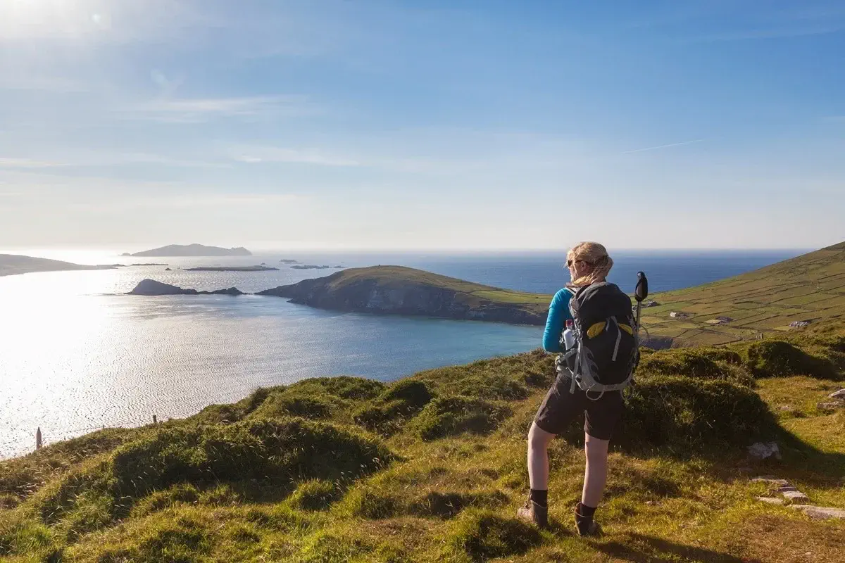 Stage 2: Camp ▸ Annascaul
The second stage of the Dingle Way takes you from Camp to the southern side of the peninsula, over a small mountain pass. At first, the path climbs along an old disused road that winds between peat bogs and small conifer woods, wrapped in the calm of the Irish countryside.
17.7 km ↗ 345 m ↘ 419 m
Day 4
Stage 3: Annascaul ▸ Dingle
The next stage runs along quiet roads, green meadows and country lanes dotted with old ruined stone cottages. The trail first leads you to the coast, where Minard Castle invites you to stop.
21.6 km ↗ 383 m ↘ 397 m
+ Base Dingle Hotel (or similar - Dingle)
Day 5
Stage 4: Dingle▸ Dunquin
Heading west, the Dingle Way crosses the Milltown River next to the Dingle Distillery, the first purpose-built distillery in Ireland in more than a century. Opposite you can see Esk Hill, with its 1847 tower, and Burnham House, once the residence of Lord Ventry and now a boarding school, where ogham stones are on display.
23.4 km ↗ 438 m ↘ 387 m
Day 6
Stage 5: Dunquin ▸ Feothanach
From the An Óige hostel in Dún Chaoin, the trail heads north along a gravel track beside volcanic Mionnán Mór, with views of Mount Brandon, the Three Sisters, Smerwick Harbour and Sybil Point. The ground can be wet. After passing Louis Mulcahy's pottery, it descends to secluded Clogher Beach, facing Inis Tuaisceart ("The Dead Man").
23.9 km ↗ 214 m ↘ 234 m
Day 7
Stage 6: Feothanach▸ Cloghane
This is the most demanding section of the Dingle Way and reaches its highest point. In bad weather or poor visibility, it is best to find another way to get to Cloghane.
25.3 km ↗ 769 m ↘757 m
Day 8
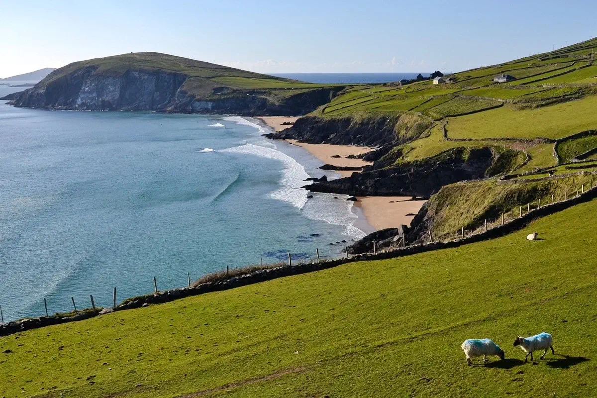 Stage 7: Cloghane ▸ Castlegregory
From Cloghane, the Dingle Way crosses the Owenmore River and follows a quiet 3.5 km road around Drom Hill, with views of glacial valleys, to Fermoyle. Here you will notice Fermoyle House, built by the Hickson brothers, former landlords.
26.7 km ↗ 64 m ↘ 62 m
Day 9
Stage 8: Castlegregory ▸ Tralee
From Castlegregory, the Dingle Way heads southwest along tarmac and gravel tracks to Aughacasla, where it crosses the R560 road and goes down to the beach. At high tide, a ramp lets you get around the rocks. The trail follows field edges and the coast to Carrigagharoe Point.
29.9 km ↗ 274 m ↘ 271 m
Day 10
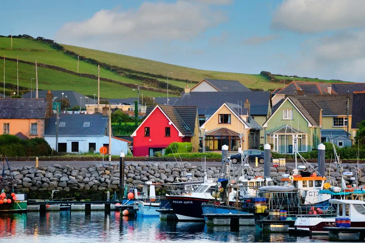 Departure or extension
Make your own way to Kerry Airport to depart for Dublin and continue your journey, or extend your stay and take time to discover the hidden corners of Tralee and enjoy its unique atmosphere.
TOUR LOCATION
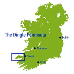
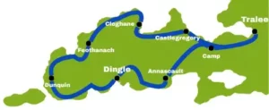
Explore the 8 stages of the Dingle Way, circumnavigating the entire Dingle Peninsula
ACCOMMODATION - Subject to availability:
TRALEE ▸ Hotel Tralee Townhouse B&B (or similar)
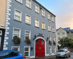

CAMP ▸ Coach Field Camp (or similar)
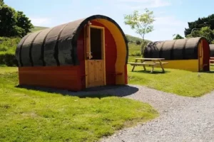
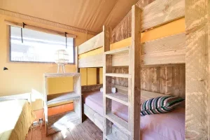
ANNASCAUL ▸ Inspiration Lodge (or similar)
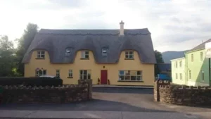

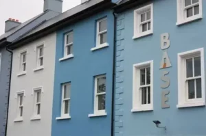
DINGLE ▸ Hotel Base Dingle (or similar)

DUNQUIN ▸ Garveys Farmhouse (or similar)
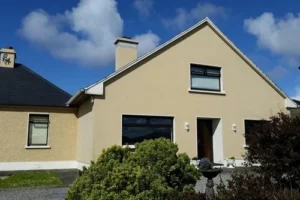
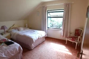
FEOTHANACH ▸ The Old Pier (or similar)
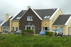
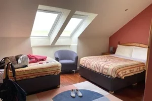
CLOGHANE ▸ O'Connors Guesthouse (or similar)
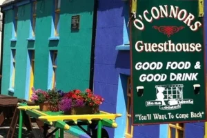
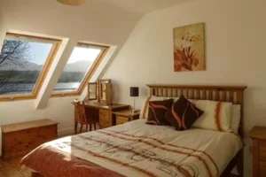
CASTLEGREGORY ▸ Fitzgeralds Hostel B&B (or similar)
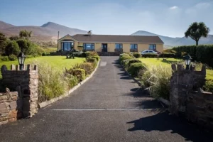

TRALEE ▸ Hotel Tralee Townhouse B&B (or similar)
Extra nights
You can also book extra nights before, during or after your hiking programme, or an additional week to relax.
Difficulty level
To complete the 8 stages of the Dingle Way successfully, you need an excellent level of fitness. Depending on the time of year, the weather can be very rainy. You should therefore always carry waterproof clothing, a windbreaker and suitable warm clothing that can be layered on and off as needed. Hiking poles are highly recommended.
Trails
The Dingle Way is a network of trails belonging to the Kerry Way and is perfectly waymarked.
We recommend
Suitable hiking clothing and sturdy footwear. During the stages, you should carry food and enough to drink, as well as sun protection, a cap and a light windbreaker, and in the winter months bring warm clothing.
Luggage transfers
We take care of transferring your luggage from one accommodation to the next, so during the stages you only need to carry a daypack with the essentials. For the whole trip, it is best to bring a single suitcase weighing no more than 20 kg.
Between May and September, you can book for any date!
FLY TO DUBLIN
...AND HOP OVER TO KERRY

Other options to consider
Ryanair and Aer Lingus are two truly Irish airlines that connect you with Dublin and Kerry. However, at certain times of the year other airlines offer flights to Dublin, from where you can catch your connecting flight to Kerry 😉

Search directly with other airlines




Miguel
Head of Tour Organisation
Any questions? I'm here to help and will be happy to answer anything you'd like to know!

Book early!! ...and get a 6% discount on bookings made at least 90 days in advance.
(NOT bookable between October and April)
PRICES, valid until 31 October 2027
1355 € ▸ 1273 € per person | double/twin room (2 people)
| Single room supplement
(...and for a 3rd person in a single room): + 385 €
Solo Traveller (1 traveller only): 2095 € ▸ 1969 €
High Tourist Season doesn't just mean expensive flights and limited availability at accommodation: prices also rise considerably. For this reason, we cannot offer early booking discounts at this time of year, and the price of the whole package may be higher than shown. On the Dingle Peninsula, the high tourist season starts on 1 July and ends on 31 August
 Bookings: Make a deposit of 150 € (per person) now to secure your booking and pay the balance 30 days before your arrival date. We will confirm your booking within 24 hours. In the unlikely event that the accommodation is not available, we will refund the amount paid or suggest alternative dates.
What does this package include?
 Accommodation - 9 nights in different, strategically chosen places to stay, on a bed & breakfast basis
 Information - personalised briefing by video call (if desired) on your arrival day
 Access to our App - with descriptions and GPS navigation for each stage, with tracking on your mobile device
 Luggage transfers - we take care of moving your luggage from one accommodation to the next.
 24-hour support - we stay in constant contact throughout your stay to resolve any questions or problems

What is NOT included?
Cancellation Policy
call us on +34 922 433 001 or write to us