01 Jun Gran Canaria Long-Distance Hiking Trail: Is the GR 131 worth it?
What makes the GR 131 on Gran Canaria so special
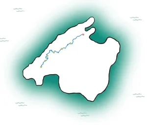
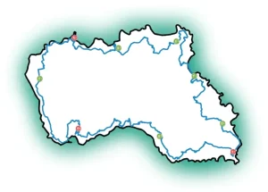
The GR 131 runs as a long-distance trail across several of the Canary Islands. On Gran Canaria it connects very different landscapes and delivers exactly what many long-distance hikers are looking for: a genuine cross-section of the island. Rather than simply stringing together individual highlights, the route builds a real sense of the island’s geography. You feel how the coastal zones give way to dry barrancos, how the middle elevations grow greener, and how the central highlands develop a character entirely their own, with open views stretching in every direction.
That makes the trail exciting, but also demanding. Gran Canaria is not a gentle beginner island for easy, flat walking over several days. Even on technically straightforward paths the elevation gain adds up quickly. Stages that look manageable on the map can turn out to be long in practice — especially in the heat or when rocky descents require sustained concentration.
If you enjoy being on the move for several days, waking each morning to a new panorama and understanding an island through the act of walking it, this is the right route for you. If you prefer daily loop walks from the same hotel, Gran Canaria often offers more suitable formats than a classic long-distance trail.
GR 131 on Gran Canaria: character and challenge
 The GR 131 on Gran Canaria is not a route for record-chasers, but for hikers with stamina and a taste for changing terrain. Expect longer ascents and descents, partly rocky paths, narrow passages along hillsides and exposed sections with little shade. Technical climbing is not required, but sure-footedness and a realistic assessment of your own abilities definitely are.
Many hikers underestimate the island because the absolute elevations seem moderate. The issue, however, is not height alone but relief. Between ravines, passes and plateaus, daily profiles emerge that demand real fitness. Several days in a row make all the difference. Walking with light day luggage is noticeably more comfortable than carrying a full pack.
Add to that the microclimate. The coast can be sunny and dry while the interior is cool and windy, and higher passes may see clouds roll in without warning. These shifts are part of the experience, but they call for adaptable clothing and careful planning.
Who the route suits
The GR 131 is a good fit for active travellers who already have experience of day hiking in hilly terrain and who see a multi-day tour not as a sporting test but as an immersive way to travel. Those who like to go independently but appreciate pre-booked accommodation, luggage transfers and reliable route materials will find this trail considerably more relaxed.
It is less suitable for complete beginners, for hikers with significant knee problems on long descents, or for anyone who wants short, flat stages every day.
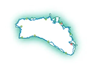
What to expect from the GR 131 stages on Gran Canaria
Depending on your planning, the GR 131 on Gran Canaria can be divided into several day stages. The exact breakdown depends on how much ground you want to cover each day, which accommodation options can be sensibly incorporated and whether transfers make certain outlying sections more practical.
A typical arc leads from the drier, more open landscapes into the central highlands. The most impressive passages are those around the higher areas and viewpoints, where Gran Canaria’s striking volcanic scenery is at its most dramatic. These are the images people take home: deep barrancos, rock formations, cloud layers below the ridgelines and that particular blend of space and island light.
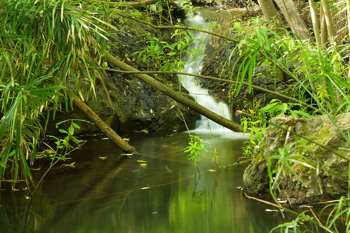
At the same time, the route lives by its quieter moments. Small villages, terraced fields, almond trees, pine forests and the simple pleasure of sitting down after a long stage are all part of what makes long-distance walking here so rewarding. Not every section is spectacular in the conventional sense. Some stretches feel sparse, almost austere — and are all the more authentic for it.
Best time of year for the GR 131
 Gran Canaria is a year-round destination, but not every season is equally well suited to a long-distance hiking trail. The most comfortable months are generally autumn through spring. Temperatures in the hiking areas are often far more pleasant than in midsummer, and longer stages can be covered without undue effort.
Winter is the most appealing time for many visitors, as the island offers mild conditions while much of mainland Europe is grey and cold. That said, higher elevations can be cool, windy and occasionally unsettled. Early mornings and exposed sections should not be underestimated.
Spring often shows the island at its most beautiful, with fresher vegetation and, on clear days, remarkable visibility. Summer is possible but only partly ideal for long-distance hiking with significant elevation gain. Early starts, careful water management and conservative stage planning become even more important then.
Self-guided or fully independent?
In theory, the GR 131 on Gran Canaria can be planned entirely on your own. In practice, this takes time and experience. The challenge lies not just in finding the route but above all in putting together a sensible combination of stage lengths, accommodation locations, transfers and luggage logistics. On an island with such pronounced relief, a pretty line on a map quickly becomes a complex travel operation.
Going fully independent offers maximum freedom, but also means handling every detail yourself: accommodation availability, navigation, spontaneous changes of plan, transfer coordination and what happens if weather or fitness requires adjusting a stage. That can be appealing, but it is not the most restful way to travel for everyone.
This is why many experienced hikers deliberately choose an organised, self-guided option. You remain independently on the trail, but with the comfort of pre-booked accommodation, clear stages, luggage transfer and solid navigation support in the background. That blend of freedom and logistical ease is especially valuable on Gran Canaria. NATOUR builds exactly that kind of trip: precise planning that doesn’t tell you what to do on the trail, but creates the space to enjoy it.
What really matters when planning
The most important question is not whether you can hike, but how you want to hike for several consecutive days. Those who get the most from the GR 131 build in reserves — both in the stages themselves and in the daily schedule. An early start on Gran Canaria often makes more difference than shaving weight off your kit.
Equally important is an honest assessment of the terrain underfoot. Good fitness does not automatically mean sure-footedness. Long descents on rocky paths put far more strain on feet and knees than many people expect. Poles can help, but they are no substitute for proper footwear and realistic stages.
Water supply should not be left to chance either. Not every section has shops or reliable places to stop along the way. Knowing your route, the weather and where to resupply makes for a far more confident walk.
What equipment makes sense
This route does not call for expedition gear, but for a well-considered selection. Light, sturdy hiking boots or solid trail shoes with good grip work well for most people who are used to rocky terrain. Add sun protection, wind and rain cover, enough water, a reliable layering system and dependable navigation.
A common mistake is carrying too much. On a long-distance trail, every unnecessary kilo makes the elevation gain more noticeable. Travelling with a luggage transfer pays off twice over: physically on the trail and mentally, because the stages feel lighter and more free.
Is the GR 131 worth it as a hiking trip?
Yes — if your expectations match what the island offers. The GR 131 is not a comfortable stroll with daily beach-hotel comfort. It is a varied, at times demanding island traverse for people who want to experience Gran Canaria beyond the obvious. If you enjoy dramatic landscapes, genuine stages and the satisfaction of getting to know a place on foot, this is one of the most rewarding long-distance walks in the Canaries.
The route is particularly well suited to hikers who value independence but don’t want to track down every logistical piece themselves. Because that is precisely when there is more room for what matters: the view into the ravines, the scent of the pines, arriving after a long day’s walking and that quiet sense of satisfaction that only a good stage can leave behind.
If you want not just to see Gran Canaria but to cross it on foot, this long-distance trail is an excellent choice — provided you give the island the attention it deserves as a hiking destination.
 You might also be interested in: