05 Nov Hiking in Lanzarote: The Complete Guide
Hiking in Lanzarote means walking through a volcanic island where black lava fields, green valleys and the open Atlantic sit within a short distance of each other. Over several days, it is possible to cross the island from north to south and pass through landscapes that feel almost unrelated to one another. These contrasts are exactly what make Lanzarote one of the most interesting hiking destinations in the Canary Islands.
The island suits independent travellers particularly well, since short to medium stages combine easily into a longer, self-guided trip. With the right timing and reliable navigation, Lanzarote also works well for solo hikers. This guide covers the main routes and explains which stages suit which kind of walker.
What makes hiking in Lanzarote so distinctive?
 Hiking in Lanzarote looks very different from the shaded forest trails found on some other Canary Islands. Paths mostly cross open terrain, running over lava rock, wide tracks and fine volcanic ash. That makes the routes spectacular, but it also demands respect for sun, wind and a surface that keeps changing underfoot.
Even on cooler days, UV exposure can be high, while sections along the north-west coast feel considerably tougher than their length suggests once the trade winds pick up. In return, the island offers surprising variety within a small area. The north is defined by green terraced fields, palm trees and the towering Risco de Famara cliff, the interior crosses vineyards growing in isolated hollows, and the south is dominated by the young, almost bare volcanic landscapes around Timanfaya.
These contrasts are what make a multi-day route so rewarding, since no stage feels like the one before it. Autumn through spring is usually the most pleasant season for a longer trip, while summer calls for early starts. Ten kilometres on a firm coastal path is also a very different proposition from ten kilometres on loose lapilli, the fine black volcanic granules, which is why daily distance should never be judged by kilometres alone.
The GR 131: from Órzola to Playa Blanca
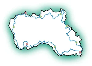
 The GR 131 is Lanzarote’s main north-south route and, for many travellers, the best way to experience the island on foot. It links the quiet north near Órzola with Playa Blanca in the south, following old paths, volcanic tracks and rural trails. Depending on how the stages are split, the full crossing takes roughly three to five days of walking.
Much of the appeal lies in how the scenery unfolds. Early stages stay close to the sea and the dramatic heights of the north, later ones pass through the cultivated landscape around Teguise and La Geria, and the southern sections become increasingly volcanic until the terrain feels almost otherworldly. For hikers who like covering ground and seeing new landscapes every day, this is a genuine island crossing rather than a series of day trips.
The difficulty ranges from moderate to demanding, depending on stage length, wind and surface. There are no technical climbing sections, but there are long open stretches and some sustained ascents and descents. The GR 131, also known as the Camino del Guanche, becomes far more comfortable when accommodation, luggage transfer and transport to the start and finish points are already arranged, leaving hikers to carry only water, food, weather protection and the essentials.
The north: Haría, Famara and the Valley of a Thousand Palms
 Northern Lanzarote suits hikers looking for varied day stages with a bit more elevation change, where walking often means fertile valleys meeting barren highlands. Around Haría, paths run through small settlements, past dry-stone walls and up to viewpoints that look out over the coast and, on clear days, the neighbouring island of La Graciosa.
One particularly striking connection heads towards the Risco de Famara. The cliff drops dramatically to the Atlantic, while a wide plateau stretches above it. These sections demand sure footing and a good read of the conditions, since fog or strong wind can quickly strip the landscape of its usual reference points. With GPS navigation and a carefully prepared route, though, they remain entirely manageable.
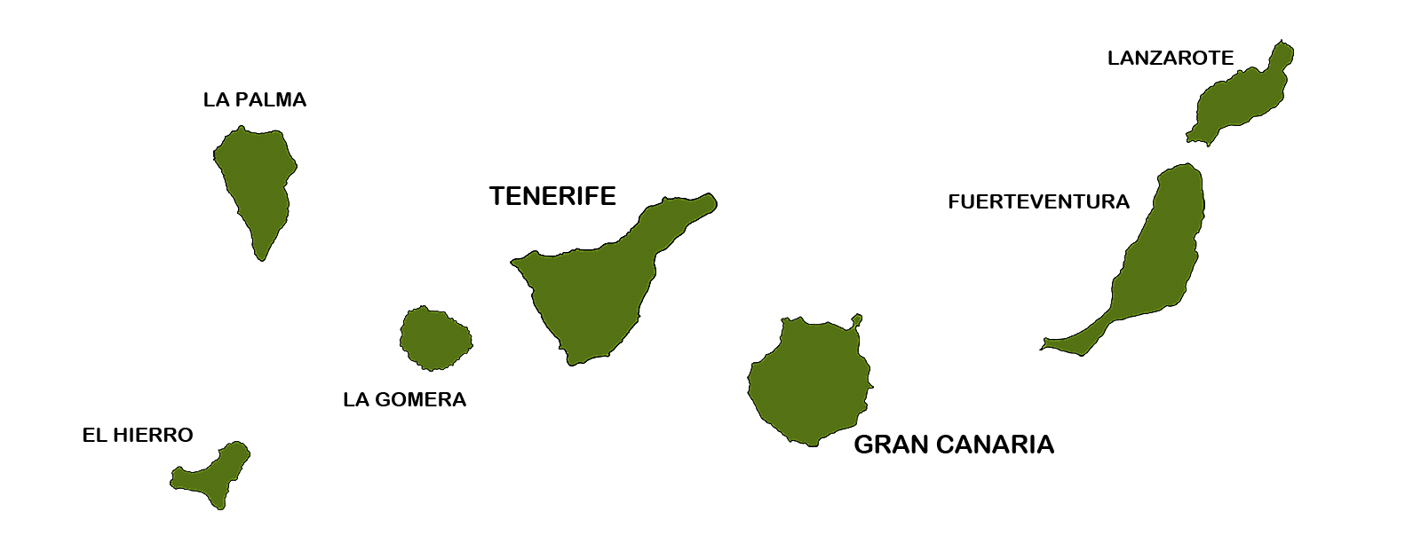
Hikers who prefer shorter distances can base themselves in Haría and set out on several loop or point-to-point walks from there. For a point-to-point trip, however, the north makes a strong opening chapter before the route continues into the island’s centre. Travellers comparing the wider island group will find an overview of other green, hilly terrain on the page for the Canary Islands.
La Geria: walking between vines and volcanic ash
 La Geria shows just how creatively the people of Lanzarote have worked with a harsh landscape. Each vine grows sheltered in a deep, semicircular hollow of black ash, bordered by low lava-stone walls. Hiking in Lanzarote reveals this wine landscape far more directly than from a car, as the view sweeps over thousands of dark arcs with volcanic cones in warm browns and reds rising behind them.
Walks through La Geria are generally less strenuous than the northern routes, but they are far from easy. Many stretches offer no shelter, and the loose ground saps energy quickly in the heat. For that reason, they work well as a moderate stage sandwiched between tougher coastal or volcanic days.
Anyone keen to combine landscape, culture and unhurried walking should give this area plenty of time. Hiking in Lanzarote shows its most cultivated side here, before the routes head towards the protected volcanic zones in the south-west.
The volcanic route south: Timanfaya and the Fire Mountains

The volcanic landscape in the south-west is the island’s most striking natural sight, but it is not an area for freely chosen routes. Large parts of Timanfaya National Park are strictly protected and can only be accessed via designated paths or official tours, which is no drawback: it is exactly what has kept the landscape so remarkably intact.
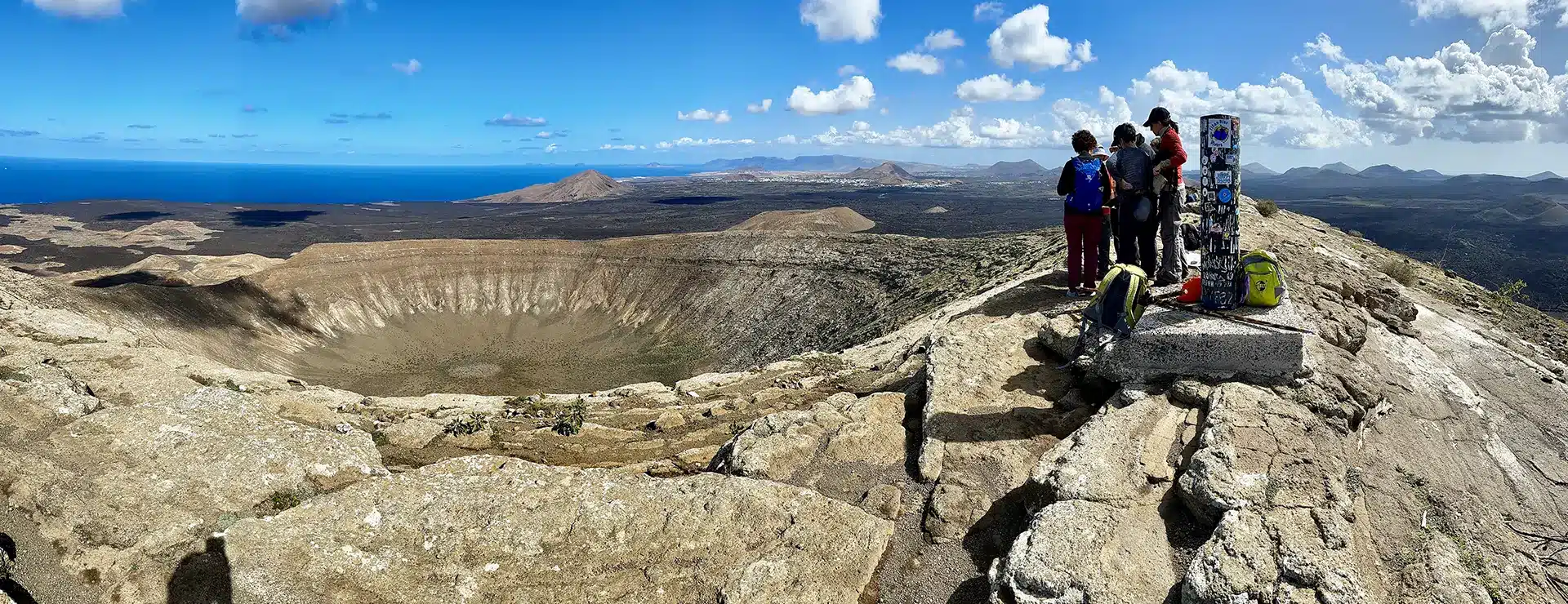
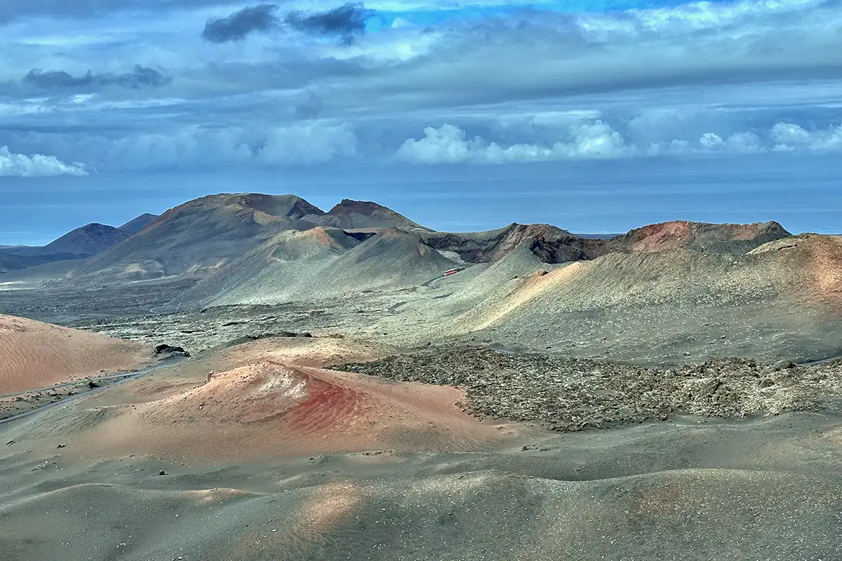
Even so, the accessible areas around the Fire Mountains and the adjoining volcanic zones offer intense impressions. Solidified lava flows, cinder fields and colourful crater walls make the island’s volcanic origins feel almost tangible. Consulting an Outdooractive hiking guide beforehand helps confirm which paths in the area are currently open.
Plan this day with up-to-date information on permitted routes and access points. A path marked on an older map is not necessarily open today, and spontaneous detours off the marked trails are not allowed inside the national park.
Coastal walking at El Golfo and Los Hervideros
The west coast delivers Lanzarote’s rawest scenery. At El Golfo, the Atlantic meets black rock, while at Los Hervideros the surf has carved caves and channels into the lava. Coastal walks in this area are less a classic long-distance stage and more an intense day of landscape, as wind, waves and light shift the scene from minute to minute.
The ground is rocky and uneven in places, so sturdy walking boots with a grippy sole are a better choice than light casual shoes. Keep well back from cliff edges and surf zones, no matter how tempting the photo might be. After days inland, this route offers a striking contrast and pairs well with an overnight stay in the south.
Which route suits your hiking style?
First-time visitors with a week to spare are usually best served by a north-south crossing on the GR 131, since it links the island’s key landscapes and gives each day a clear destination. Experienced hikers can manage longer stages comfortably, while those who prefer a gentler pace can add extra overnight stops and shorten daily distances, making hiking in Lanzarote more leisurely with more room for viewpoints, breaks and small villages.
If coastal views and high-level paths matter more than completing a full crossing, it is worth weighting the itinerary towards the north. Those mainly interested in the volcanic side of the island can instead combine La Geria with the accessible paths in the south. There is no single “best” route; what matters is fitness, preferred daily distance and whether you would rather keep moving or stay a few nights in one place.
Hiking in Lanzarote works well for solo travellers as long as navigation, accommodation and transfers are reliably arranged in advance. Mobile signal is not guaranteed on every open stretch, and shade is scarce. An offline GPS app, enough water (often at least two litres depending on distance and temperature) and some wind protection belong in every day pack.
Practical tips for a hiking trip in Lanzarote
A self-guided hiking trip in Lanzarote does not mean organising everything from scratch. On point-to-point routes, the handover between accommodation, trail and luggage is often what makes or breaks the day when hiking in Lanzarote. A rental car, pre-arranged transfers or a luggage transfer service all prevent the trip from being derailed by complicated return journeys or overloaded backpacks.
Pack for Lanzarote with function in mind rather than volume: worn-in boots, a sun hat, sunscreen, a light windproof layer and plenty of drinking water matter far more than extensive gear. Check the weather and route conditions the evening before, especially on coastal or high-level stages, so the next day starts without surprises.
For travellers who want flexibility without planning every stage themselves, the Canary Islands overview on the Canary Islands page is a useful starting point, alongside the dedicated page for Lanzarote itself.
What NATOUR offers for hiking in Lanzarote
NATOUR is a Biosphere-certified sustainable travel agency that designs self-guided hiking trips on Lanzarote so that travellers move independently and at their own pace, with no fixed groups or schedules. This includes carefully selected accommodation with character, daily luggage transfer between stages, and local support throughout the trip.
For orientation on lava rock, volcanic tracks and lightly marked upland paths, NATOUR uses its own app, “Roadbook for Discovery”. It guides hikers with voice prompts, gives an audible and visual alert if they stray off route, and works offline in flight mode once the trip has been downloaded, which is a clear advantage on stretches without mobile signal. Travellers do not need to search for or import their own tracks, since the route is already loaded into the app.
FAQ about hiking in Lanzarote
How many days does the GR 131 take on Lanzarote?
Depending on how the stages are split, the GR 131 takes roughly three to five days from Órzola to Playa Blanca. Spreading it over five days leaves more time for breaks and viewpoints.
Is hiking in Lanzarote suitable for beginners?
Yes, many sections are technically straightforward and follow wide tracks or paths. Sun protection, enough water and a realistic view of daily distance matter more than technical skill.
What is the best season for hiking in Lanzarote?
Autumn through spring usually offers the most comfortable temperatures for longer stages. In summer, starting early helps avoid the strongest heat and sun exposure.
Can you hike freely inside Timanfaya National Park?
No, large parts of the park can only be visited on designated paths or official tours. Current information on permitted routes should be checked before visiting.
Do you need volcanic hiking experience for Lanzarote?
No particular experience is required, though you should expect loose terrain such as lapilli ash. Sturdy footwear and careful footing are usually all that is needed.
How do you navigate the lightly marked paths in the north?
An offline GPS app is far more reliable than signage alone on stretches like the Risco de Famara. Fog or strong wind can quickly remove the landscape’s usual reference points.
Is it worth combining several routes on Lanzarote?
Yes, because the north, La Geria and the south look so different, combining them over several days makes hiking in Lanzarote highly rewarding. It allows hikers to experience green valleys, vineyards and volcanic zones within a single trip.
Hiking in Lanzarote packs an unusual range of landscapes into a small island, from green valleys to young volcanic cones. With good preparation, the right season and dependable navigation, it becomes a destination that can surprise even experienced hikers.
 You might also be interested in:

 86,2 km ·
 6 Stages ·
 8 Days