5 days

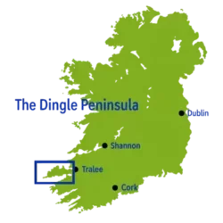
Dingle Way Ireland
Tralee ▸ Dingle
·
 58.5 km ·
 in 3 Stages ·
 5 days
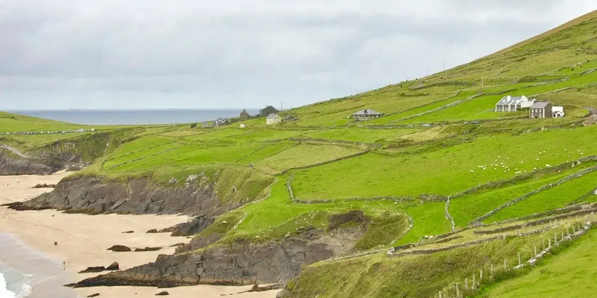
These three stages make up the first section of the Dingle Way, a route through County Kerry. Skirting the slopes of the Slieve Mish mountains, you will pass through villages such as Camp and Annascaul and look out over the vast Inch beach, in a stunning combination of Atlantic landscapes, green hills and authentic Irish atmosphere.
▸ Includes
 +
 |
 |

from 687 €
8 days
Dingle Way Highlights
HIGHLIGHTS
·
87.9 km · 4-6 Stages · 8 days
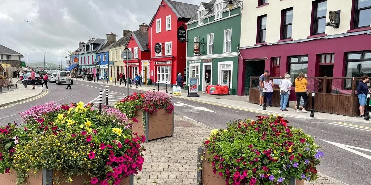
Based in the charming village of Dingle, this itinerary brings together the best of the Dingle Way across six walking routes. We’ll take you to the start of your route each day and collect you at the end. In addition, the two routes on days 3 and 4 can be swapped and combined into an e-bike tour. You’ll walk along Slea Head, with views of the Blasket Islands, Inch Beach and the slopes of Mount Brandon.
▸ Includes
+ | | | 
from 1111 €
10 days
Dingle Way Full
Tralee ▸ Tralee (circular itinerary)
·
187.7 km · in 8 Stages · 10 days
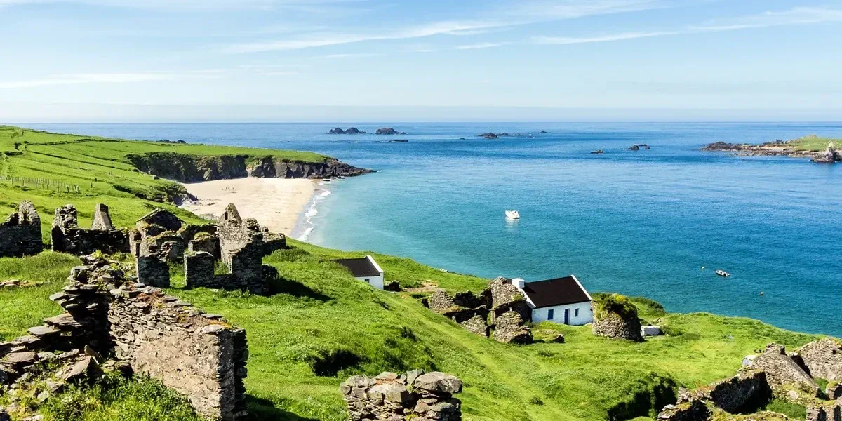
A circular route of around 187 kilometres, starting in Tralee and circling the entire Dingle Peninsula in 8 stages. You’ll walk along the slopes of Slieve Mish, past Inch Beach and through the village of Dingle; you’ll admire the Blasket Islands from Slea Head; and, at the foot of Mount Brandon, you’ll return to Tralee along the bay.
▸ Includes
+ | |
from 1273 €


Stay in charming hotels
We choose hotels with charm, in areas away from conventional tourism but with a genuine atmosphere
Spectacular routes
Walking along the Empordà coastline and discovering medieval villages inland

Luggage transfers
Forget about your luggage and walk comfortably. We move it from one accommodation to the next for you.
GPS navigation
With our app you can follow the path of the route without fear of getting lost. Includes maps and information.

Natour reviews and comments on Google
What do our customers say about us?


Any questions?
We are here to help and ready to clear up any doubts. Ask us whatever you wish!

a different itinerary?
If you have a different idea for your route along the Dingle Way, ask us for a programme tailored to your needs.
We offer you the best price and on the best terms
REQUEST MORE INFORMATION
…frequently asked questions
What is the Dingle Way and where is it?
It is one of Ireland's National Waymarked Trails. It runs around the Dingle Peninsula in County Kerry, in the south-west of the country. It is a circular route that starts and ends in the town of Tralee. It combines Atlantic coastline, beaches, cliffs, mountains, bogs and small villages.
How long is it and how many days do you need?
The full route is around 160–180 km, depending on the source and the variants you take. It is usually completed in 8 or 9 stages of between 15 and 27 km per day. If you have less time, you can walk only the western section, the most spectacular, in 4 or 5 days, for example between Dingle and Cloghane.
What are the usual stages?
A typical division is as follows:
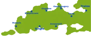
Tralee – Camp
Camp – Annascaul
Annascaul – Dingle
Dingle – Dunquin
Dunquin – Ballydavid/Feohanagh
Feohanagh – Cloghane
Cloghane – Castlegregory
Castlegregory – Tralee
Many agencies add a rest day in Dingle or split some of the longer stages.
How difficult is it?
It is generally moderate and suitable for anyone in good physical shape, with no technical experience required. The most demanding stage crosses the slopes of Mount Brandon, near Masatiompan, reaching an altitude of around 600 m. The terrain can be muddy there, and fog makes navigation difficult. There are also long stretches along minor roads, beaches and dirt tracks.
Is it well waymarked?
Yes. The route is marked with posts bearing a yellow arrow and the silhouette of a walker. Even so, it is a good idea to carry a map or a GPS track, especially for the mountain sections with poor visibility. The recommended maps are the Ordnance Survey Ireland Discovery Series, sheets 70 and 71.
When is the best time to walk it?
From May to September, when the days are longer and the weather is more stable. April and October are also good options if you prefer fewer people, although some small accommodations close out of season. Winter is possible, but the wind, rain and few hours of daylight make it considerably harder.
What is the weather like and what equipment do I need?
The climate is Atlantic and very changeable: you can get sun, rain and strong wind on the same day. The essentials are:
waterproof boots with good grip
waterproof jacket and trousers
layered clothing
hat and gloves, even in summer
sunscreen
water and food for the stages with few services
Where do you stay, and can luggage be transferred?
Almost every village along the route has B&Bs, guesthouses and some hostels. In high season it is advisable to book in advance, especially in Dingle and in the smaller villages. Several local companies offer self-guided packages with accommodation and luggage transfer from one stage to the next, so you can walk with just a light daypack.
How do you get to the starting point?
Tralee is well connected:
By train from Dublin, usually with a change at Mallow, in about 4 hours.
By bus from Cork, Limerick or Killarney.
By plane, the nearest airport is Kerry Airport (Farranfore), about 20 minutes away. Shannon and Cork are alternatives with more international flights.
What highlights can you see along the way?
Among the best known are:
the town of Dingle, with its harbour and pubs with traditional music
the Slea Head coastal route, with views of the Blasket Islands
the village of Dunquin
the Gallarus Oratory and other monastic and prehistoric remains
Mount Brandon and Brandon Bay
the long beaches of Tralee Bay, near Castlegregory
In addition, much of the west of the peninsula is Gaeltacht, an area where Irish (Gaelic) is still a living language. You will see many signs in that language: Dingle, for example, appears as An Daingean.
Extra tip: some stretches run along beaches or close to the tideline. It is worth checking the tide tables before those stages so you do not find your way cut off.
If you have any additional questions not covered here, check the general FREQUENTLY ASKED QUESTIONS section or get in touch with our team. We have extensive knowledge of Ireland and the Dingle Peninsula and its many possibilities for self-guided walking.

Hiking the Dingle Way Ireland
The Peninsula through which the “Dingle Way Ireland” flows
The south-western tip of Ireland holds one of Europe’s most breathtaking treasures: the ancient paths that run across the Dingle Peninsula. Stretching over this tongue of land that boldly pushes into the Atlantic Ocean, these trails offer travellers an incomparable combination of mist-shrouded mountains, dizzying cliffs, endless beaches and small villages where Gaelic is still spoken in daily life. For anyone who wants to truly connect with the wild soul of Ireland, exploring them on foot is an absolutely essential experience.
Originally laid out by pilgrims, farmers and fishermen for purely practical purposes, these paths are today recognised as one of the country’s most spectacular hiking routes. They suit nature lovers, more demanding walkers and those who simply want an unforgettable stroll by the sea. Whether you walk a short stretch in the afternoon or commit to a multi-day crossing, the Dingle Peninsula promises otherworldly landscapes and an authentic taste of the most genuine Irish culture.
Historical roots of the Dingle Way Ireland
 To truly appreciate the unique layout of these trails, you need to delve into their rich and fascinating history. The peninsula is dotted with more than two thousand archaeological monuments, from Iron Age forts to beehive-shaped stone huts, known as clocháns, used by the first Christian monks. Many of today’s paths follow ancient pilgrimage routes, such as the Cosán na Naomh, the “Saints’ Road”, which led the faithful to the summit of Mount Brandon in honour of Saint Brendan the Navigator.
During the 19th century, the peninsula suffered severely from the ravages of the Great Famine. In those years numerous roads and paths were built as part of relief programmes, in which starving peasants worked in exchange for a minimal food ration. Walking these paths today is like leafing through an open-air history book, following in the footsteps of monks, pilgrims and families who fought to survive in a land as beautiful as it was unforgiving. Over time, this network of green lanes, bog tracks and mountain routes came together to form the Dingle Way Ireland, known in Gaelic as Slí Chorca Dhuibhne.
Decoding the route: the eastern gateway to the Dingle Way Ireland
Geographically, the Dingle Way Ireland traces a large circuit of around 180 kilometres that starts and ends in the town of Tralee, capital of County Kerry. Given this length, the route is usually completed in about eight stages, although many travellers choose specific sections. The eastern section starts in Tralee and heads into the foothills of the Slieve Mish mountains, which act as a gateway to this wild world.
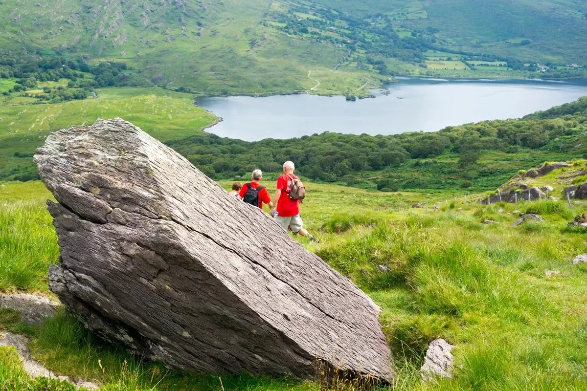
From the slopes of these mountains, walkers enjoy wide views over Tralee Bay and the green valleys that descend towards the sea. Heading towards Annascaul, the path crosses heathland and old cattle tracks, and passes the pub of the legendary polar explorer Tom Crean, a hero of the Antarctic expeditions born in this small village. The reward at the end of the stretch is the impressive Inch beach, a five-kilometre arm of golden sand that reaches into Dingle Bay and where the Atlantic waves break ceaselessly.
The heart of the peninsula: Slea Head and the Blaskets
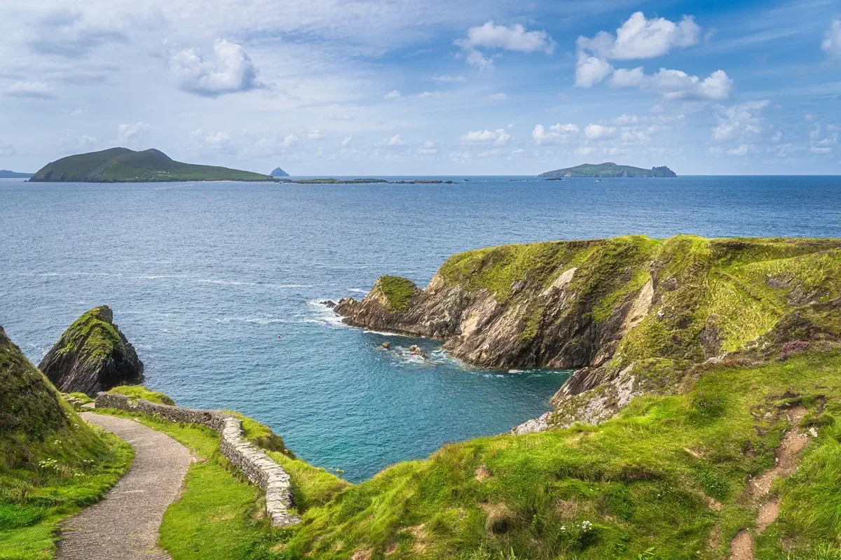
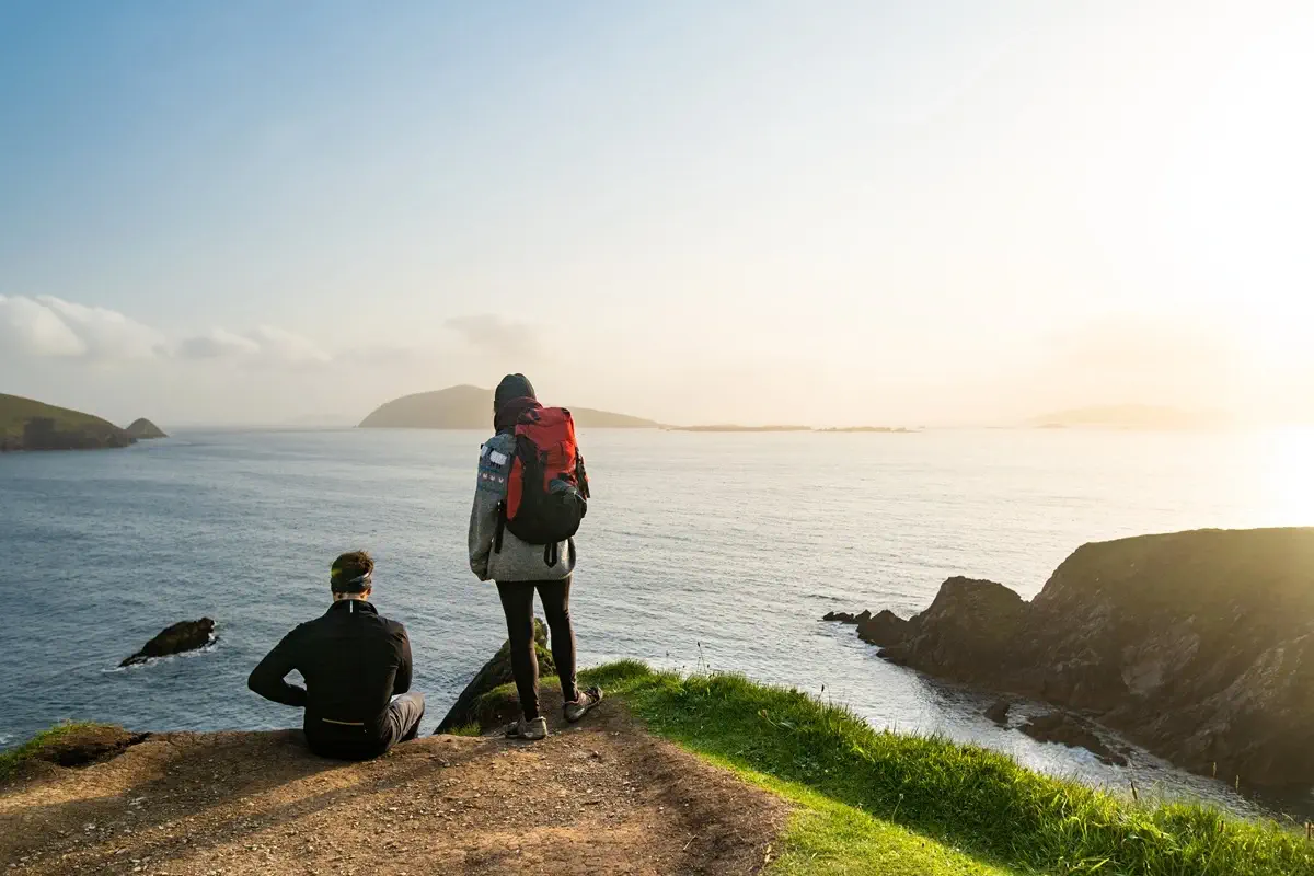 Many experienced walkers consider the western section, between the town of Dingle and Dunquin, to be the crown jewel of the route. Dingle, with its brightly painted houses, its fishing harbour and its pubs full of traditional music, is the perfect place to rest before tackling the most spectacular part of the route. As you head west, the path skirts Ventry Bay and enters a landscape dotted with ancient remains, such as Dunbeg fort, perched on the cliff edge, and the stone huts of Fahan. This stretch leads directly to Slea Head, where the road and the path look out over an abyss of rocks and foam, and offers the unique opportunity to gaze at the Blasket Islands floating on the horizon.
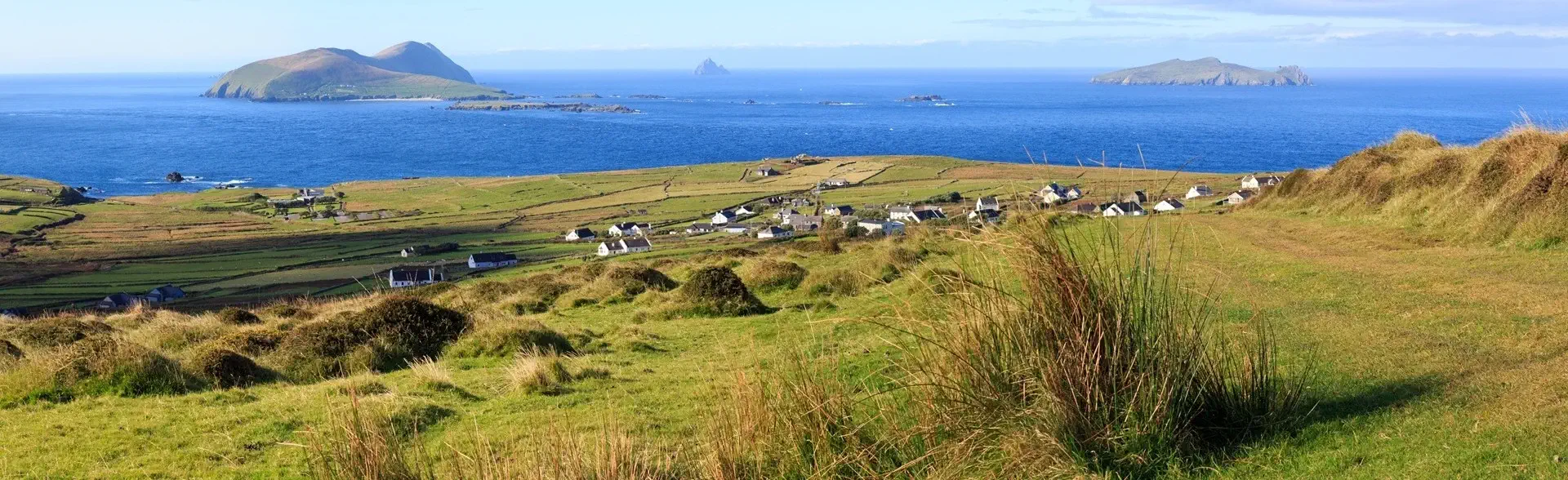
The trail reaches its most thrilling point around Dunquin, one of the westernmost points in Europe. From here you can see the Blaskets, abandoned by their last inhabitants in 1953, whose island community gave Irish literature memorable works such as those of Peig Sayers and Tomás Ó Criomhthain. Very close by, the cliffs of Ceann Sibéal and the Three Sisters draw one of the most photographed coastal silhouettes in the country, even the setting for world-famous film shoots.
The wild north and the shadow of Mount Brandon
As the route turns north, the landscape changes dramatically. The northern stretches pass by the Gallarus Oratory, a small dry-stone church that has withstood more than a thousand years without a drop of mortar, and by the ruins of Kilmalkedar, with its enigmatic stones carved in Ogham script. Continuing onward, the path reaches Ballydavid and Smerwick Bay, where Gaelic is still the language of the street.
Beyond, the path takes walkers into the domain of Mount Brandon, which at 952 metres is one of the highest peaks in Ireland. In this territory of bogs, glacial lakes and wind-lashed slopes, the trail climbs the Masatiompan pass before descending towards Cloghane and the vast beaches of Castlegregory and the Maharees. Walking in the shadow of Brandon is like crossing a primeval landscape, where mist slides over the summits and the ocean seems to have no end.
Biodiversity and Atlantic climate
The environmental richness found along the route is one of its great attractions. The peninsula as a whole is a refuge for Atlantic flora and fauna. Walkers are accompanied throughout by hedges of wild fuchsia, carpets of heather and gorse, and by the flight of gannets, red-billed choughs and gulls. With a bit of luck, grey seals, dolphins and even whales on their migration can be spotted from the cliffs.
As for the climate, the region enjoys a mild oceanic climate thanks to the influence of the Gulf Stream, with mild winters and cool summers. The weather, however, is changeable and can go from sun to rain within minutes. Late spring and summer offer the longest days and the best conditions for long-distance walks, while September brings golden light and quieter trails. Choosing the right time of year can considerably improve the experience, although on the Dingle Way Ireland you should always be prepared for all four seasons in a single day.
Practical tips for a crossing of the Dingle Way Ireland
Careful trip planning is essential for a successful experience. Although some stretches run along quiet roads and beaches, others cross bogs and mountain passes that require good physical fitness and the right equipment.
▸ Footwear: waterproof hiking boots are essential, as many stretches cross wet and muddy terrain.
▸ Clothing: always carry a waterproof jacket and several warm layers, even in midsummer.
▸ Navigation: follow the Dingle Way Ireland signs, black posts with a yellow arrow and the figure of a walker, and check the weather forecast before climbing Mount Brandon.
By respecting private property, closing livestock gates and leaving the landscape as you found it, you help preserve this fragile environment. Whether you decide to explore a small section or take on the full circuit, the magic of the Dingle Peninsula will undoubtedly leave an indelible mark on your soul, making you return again and again to the Atlantic edges of Ireland.